Video: Capture the earth in two weeks
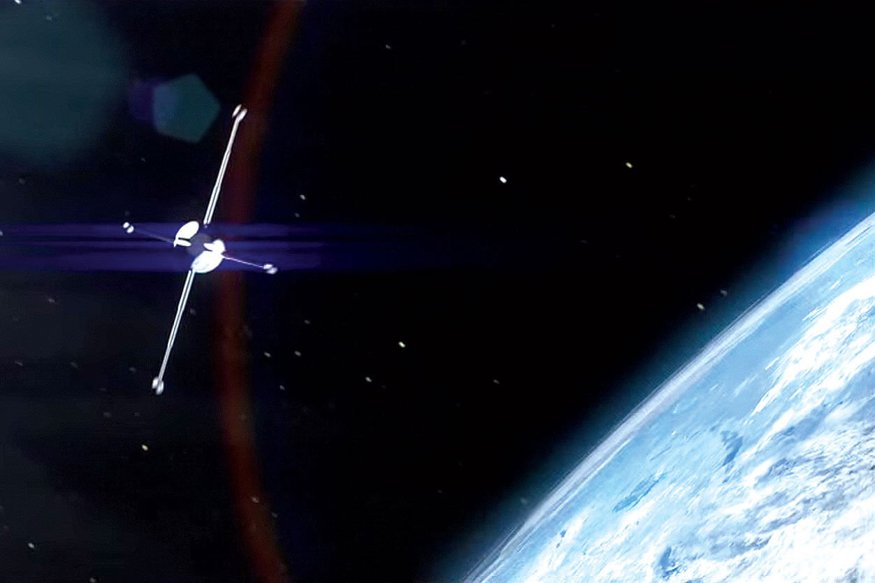
Satellite imagery is a core part of the R7® Tool, but understanding how satellites capture images around the country can be tricky. This video produced by NASA shows how the LANDSAT satellite’s orbit pattern allows it to scan across the globe, while the earth moves under it. This movement is how the satellite captures an entire scan of the earth over a two week period.
Satellite imagery is a core part of the R7® Tool, but understanding how satellites capture images around the country can be tricky.