WinField United Tech Updates in the Works
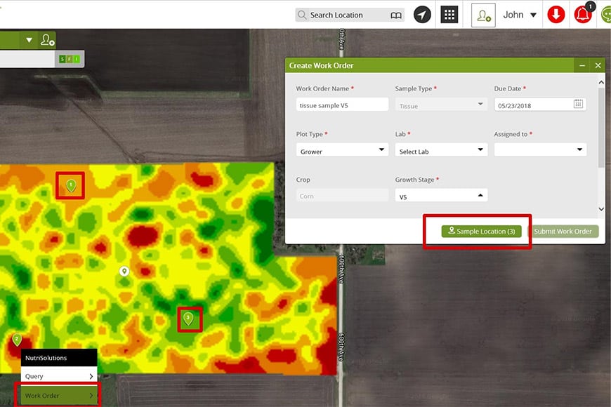
Updates to the R7® Tool are now in place to make it easier for you and your agronomist to monitor in-season challenges and make creating management zones more robust. Also, keep an eye out for updates to the Answer Tech® website later this summer. Here’s a list of what to expect.
1. In-season imagery, tracking on mobile
Now calling up in-season imagery along with tracking your current location in the field is possible on your smartphone and tablet through the R7 Tool mobile app. Being able to see your current location on the in-season image lets you easily navigate to check out nearby stressed areas.
2. New mapping capabilities
In response to user demand, WinField United has added slope and elevation maps to the R7 Tool. Both agronomists and farmers have been eager for a good visual slope and elevation option that lets them use those layers to create management zones and make variable-rate recommendations.
Having a slope and elevation capability will help you and your agronomist make better decisions, since you’ll be able to assess soil erosion and water movement activity. As a result, you’ll have added data to tee up more conversations about sustainable management practices that could address soil loss and water-erosion risk.
3. Answer Tech updates
In late summer, the Answer Tech® website will offer new information and resources that are more intuitive and easier to find. Additional reviews by WinField United experts of ag technology companies and their products will be available to help guide you to the ag technology tools that best fit your needs.
The goal: targeted info
In the end, we want to make sure that as you work with greater amounts of data, we do a good job of providing quality tools that allow you to get what you need but not be inundated by too much information. “What do farmers need most and how can we provide quick access to it?” That’s the question we want to answer and deliver on.